
Solutions

Predictive Mobility that Protects Lives and Keeps Cities Moving

We combine AI, Machine Learning, and Deep Learning into a unified Transportation Communication Network that turns rail movement into actionable signals for everyone—first responders, traffic managers, drivers, and pedestrians.

Safety Congestion Deep Learning
Voice Assistant

Ask Leland™ — Hands-free Crossing Status & Predictions

"Is Main Street crossing about to close?" — Ask Leland, get the current status and a prediction on gate-down timing.

  • Natural voice queries for crossing status
  • Predicted close/open windows for proactive routing
  • Works alongside our apps and roadside signs

Note: Product name spelling flexible (Leland/Leleland/Lelend). Update branding as desired.

Ask Leland voice assistant interface
Bio-Mimicking Sensors

Multi-Sensor "Senses + Digital Brain" on a Single Board

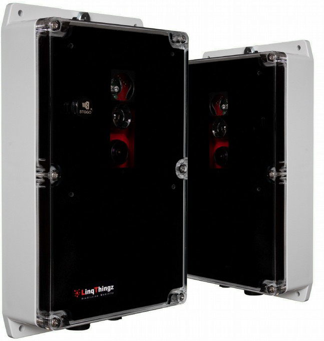
Our purpose-built modules integrate RADAR, LIDAR, Magnetometer, Audio, Video, Vibration, and Weather—all on one board, streaming through an on-device ML processor.

Like animals, we use multiple senses and a digital brain to identify targets and mitigate single-sensor errors. We detect and track multiple trains on multiple tracks across varied operating conditions: through trains, commuter stops, freight stops, commuter yards, freight yards, passing/second trains—while differentiating train activity from road vehicles and pedestrians.

Multi-sensor board cutaway diagram

Applications for the Whole Response Stack

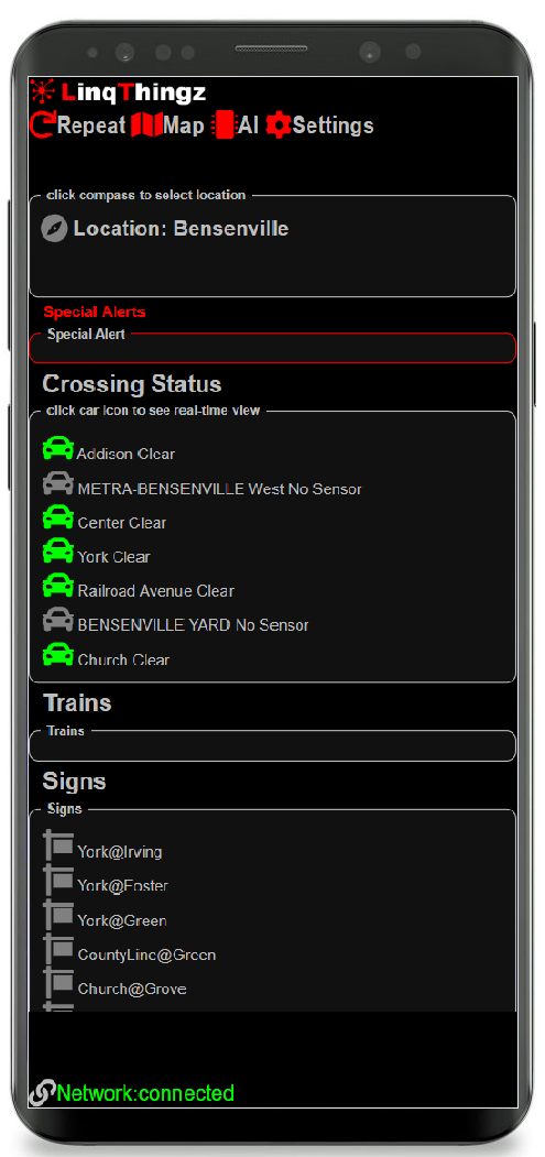
InCab mobile app interface

InCab

Phone-based app for emergency responders with geo-fenced reporting regions.

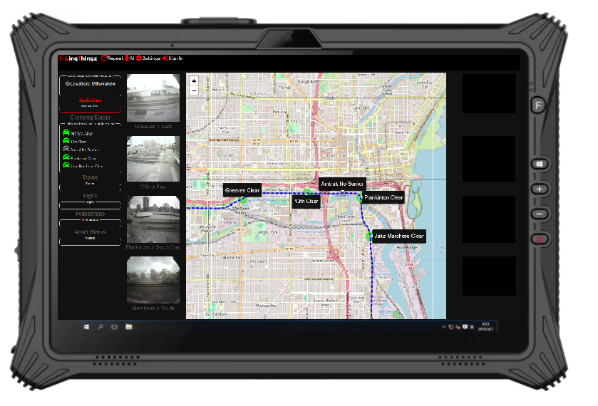
MDC tablet application

MDC

Tablet-based in-vehicle app with real-time maps and crossing imagery.

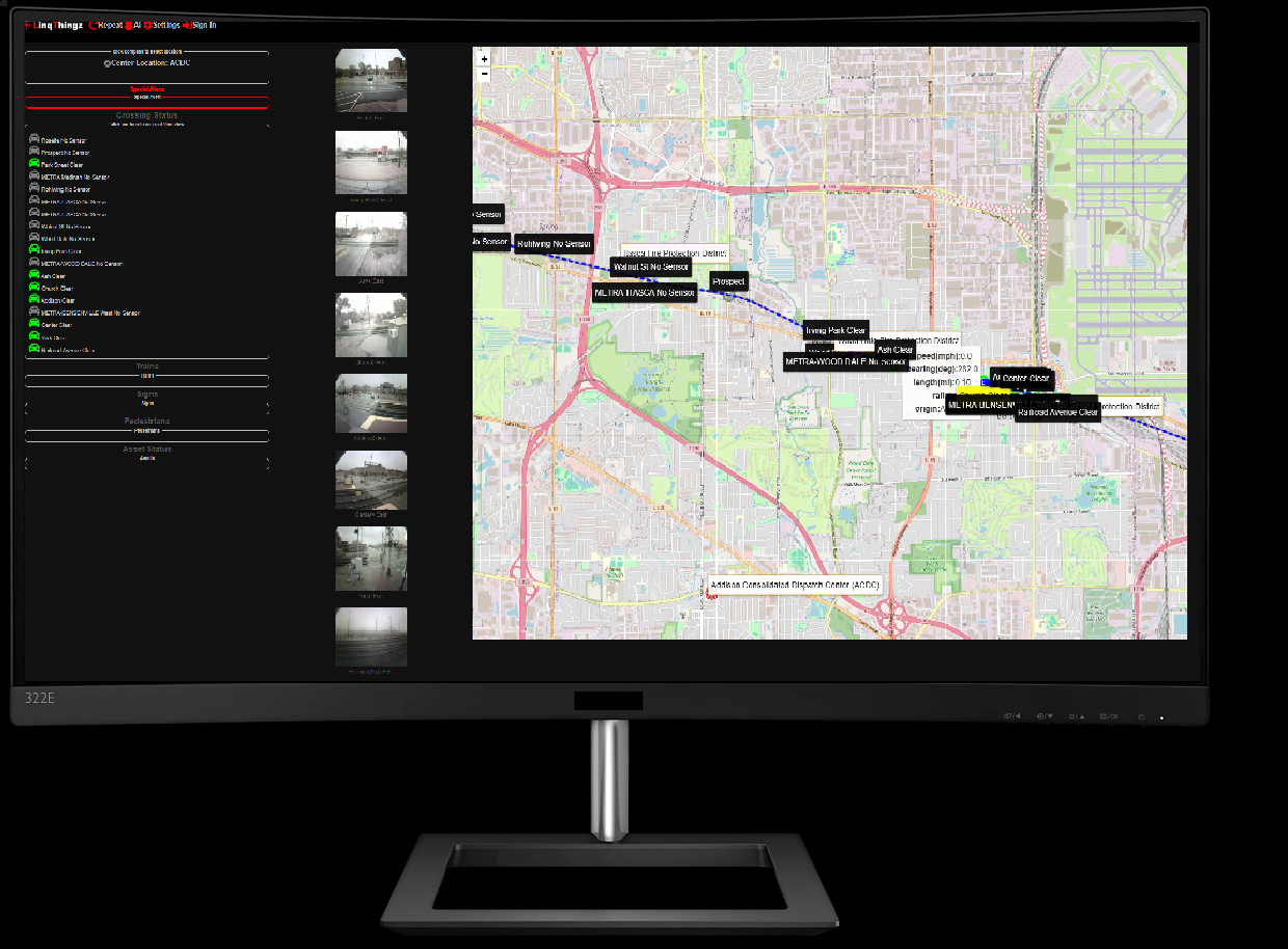
Dispatch console interface

Dispatch

Dispatch center application with comprehensive mapping and regional visibility.

Cloud Intelligent Transportation System (ITS)

Sensor streams flow into our cloud ITS, where Deep Learning models predict when crossings will be occupied. We account for the full window: gates down before the train arrives, during passage, and after clearance.

Corridor Awareness

Holistic view across tracks, stations, and yards.

Proactive Warnings

Advance alerts to reduce risk and response times.

Congestion Relief

Predictive detours to cut idle time and emissions.
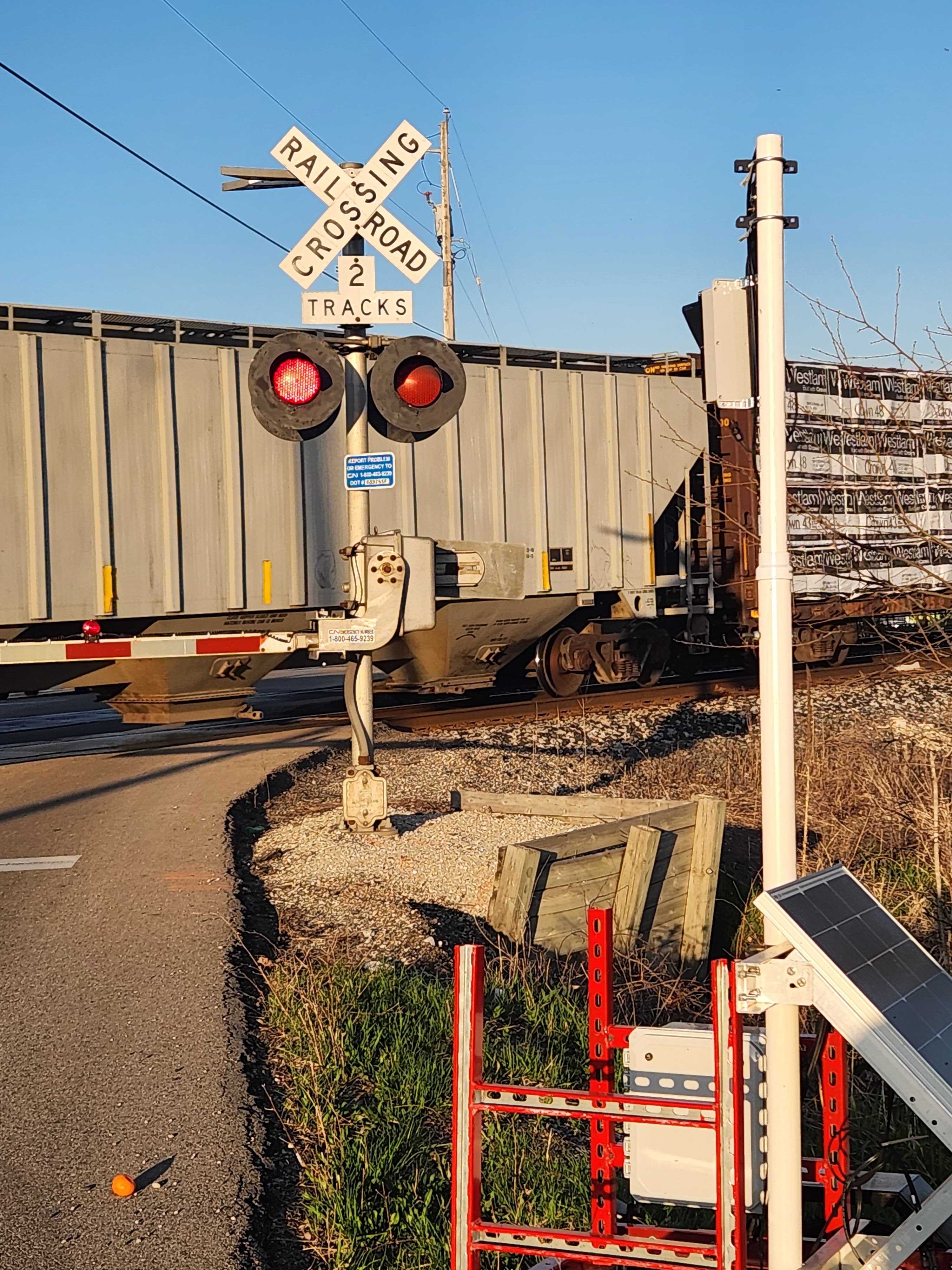
Data Where People Navigate

Available in Major Mapping & Navigation Platforms

  • Google Maps
  • Apple Maps
  • Waze

Integrations align with the same predictive feeds used by our apps and roadside signage.

Logos / Integration Diagram
Roadside Intelligence

Roadside Message Signs

Roadside signs are driven by the same intelligence as our mobile apps—ensuring every road user, not just app users, has access to real-time status and predictive guidance. Emergency apps also display live sign status for complete situational awareness.

Rapid Deployment

Mobile Trailer — Set Up in One Hour

Exploring ways to measure traffic and rail impact in your community? Our mobile trailer can be deployed in about an hour to capture data, demonstrate capabilities, and quantify congestion patterns quickly.

Mobile sensor trailer deployment
Built in the USA

Designed, Manufactured & Supported in the U.S.

Our cutting-edge sensor modules are engineered, manufactured, and supported domestically—shortening lead times and ensuring quality, supply assurance, and responsive service.

Manufacturing / QA Photo

ROI Reports — Make the Business Case

We use our mapping tools to identify congestion, delay windows, fuel burn, carbon impact, and the productivity costs borne by your community. Turn insights into funding and action.

Before/After Baselines

Quantify current state and measure improvement.

Grant-Ready Evidence

Support SS4A and other funding applications.

Stakeholder Story

Translate data into clear, actionable narratives.

Ready to Deploy Predictive Mobility?

Let's reduce risk, clear congestion, and cut emissions—together.

Talk to Our Team